Overview
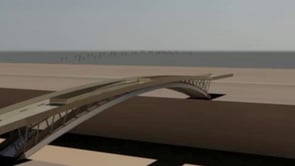
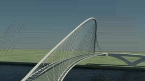
Where previous design representation concentrated on 2D illustration, this course focuses on building skills in 3D modeling, animation and simulation to add time-based techniques into the process of design analysis, experimentation and presentation. Projects will explore graphics techniques from various visual arts industries in order to expand the repertoire of skills. Techniques incorporating 3ds Max, After Effects, ArcGIS, Rhino, Photoshop and/or Illustrator will be examined to illustrate chronological, phenomenological, experiential and conceptual ideas in design. Course projects will focus on development of narrative and emphasize the art of storytelling as they pertain to representation and illustration of design intent.
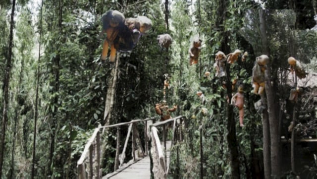
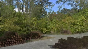
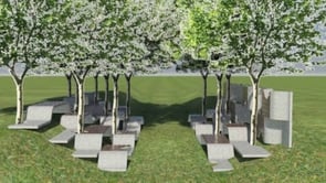
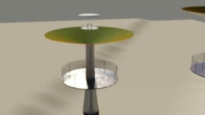
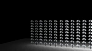
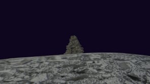
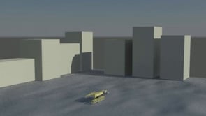
Diorama
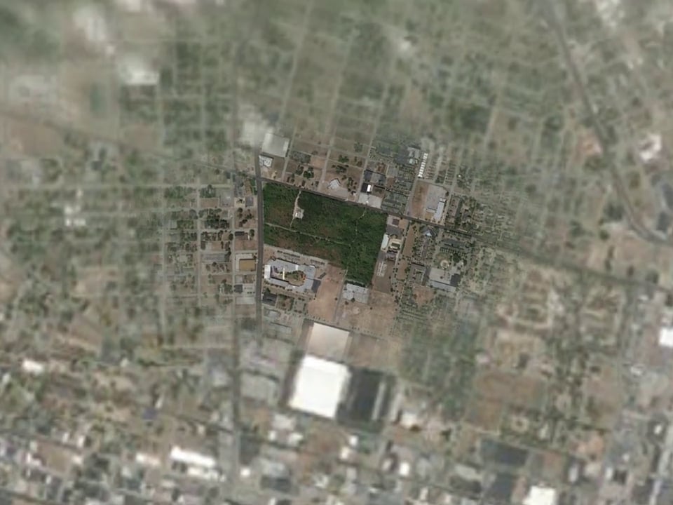
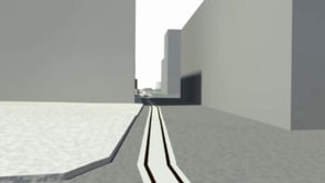
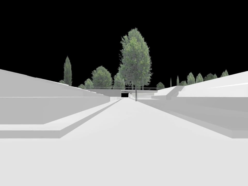
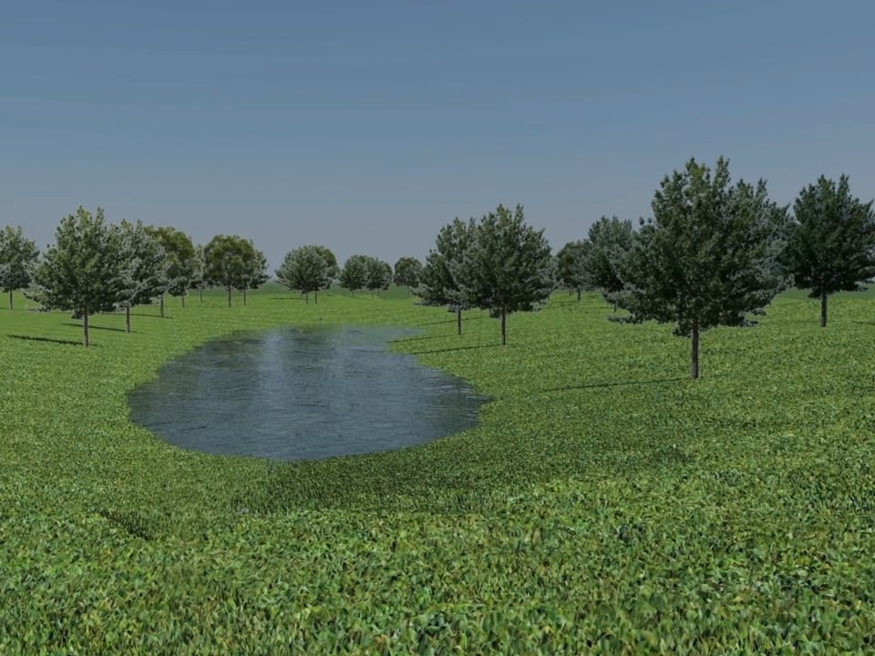
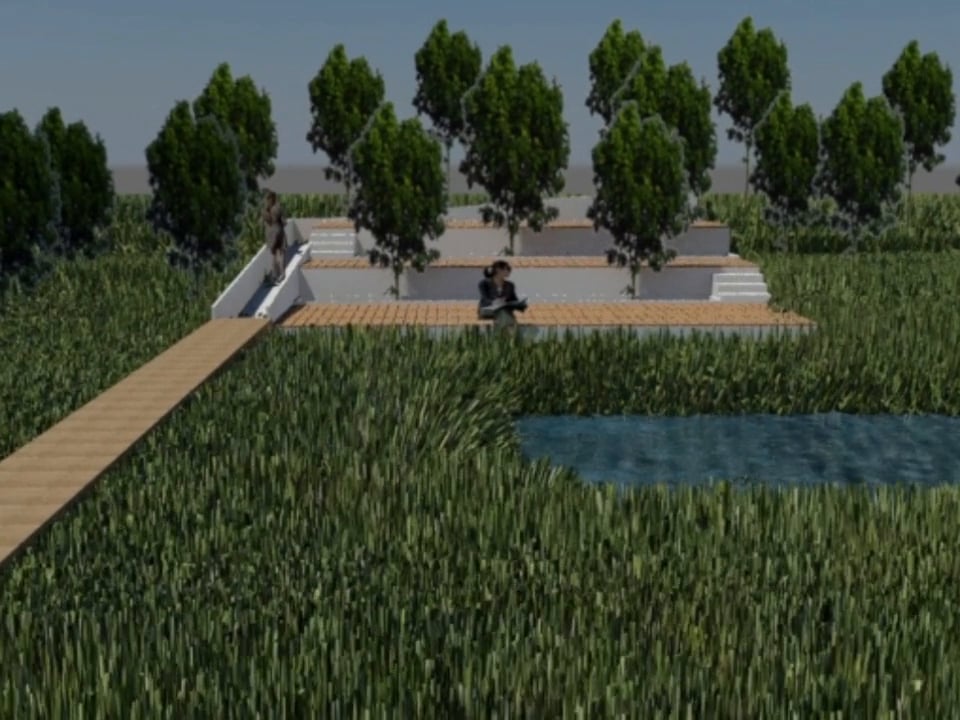
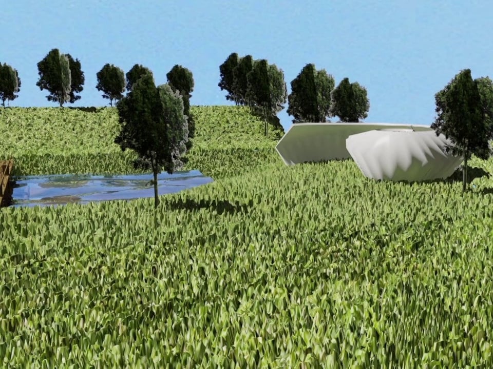
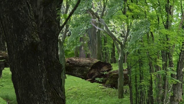
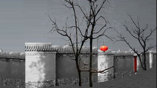
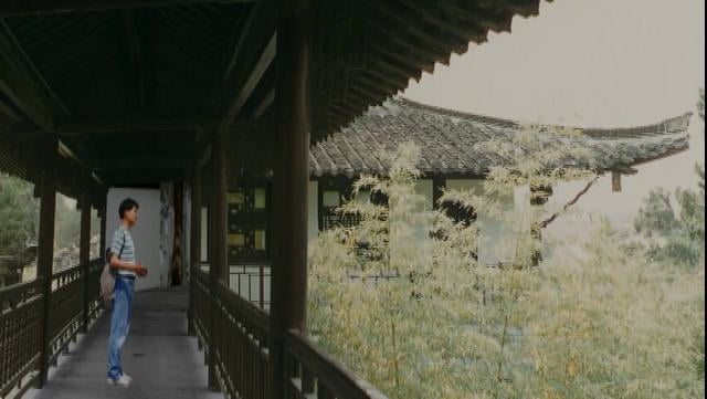
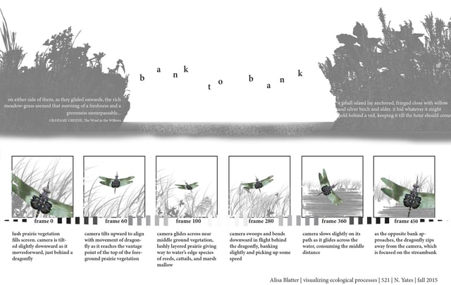
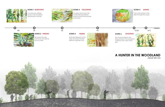
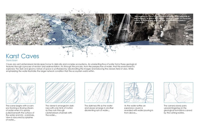
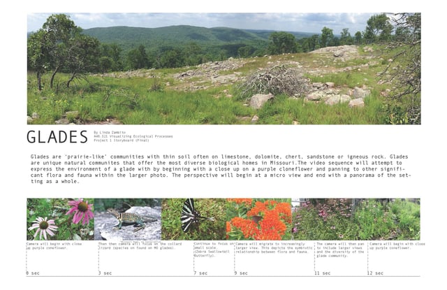
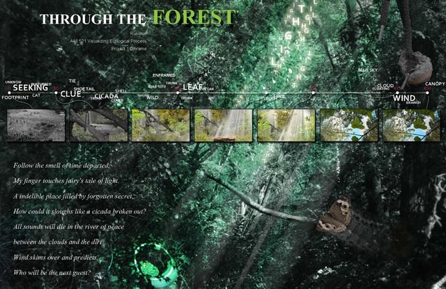
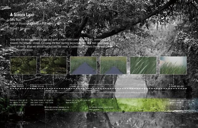
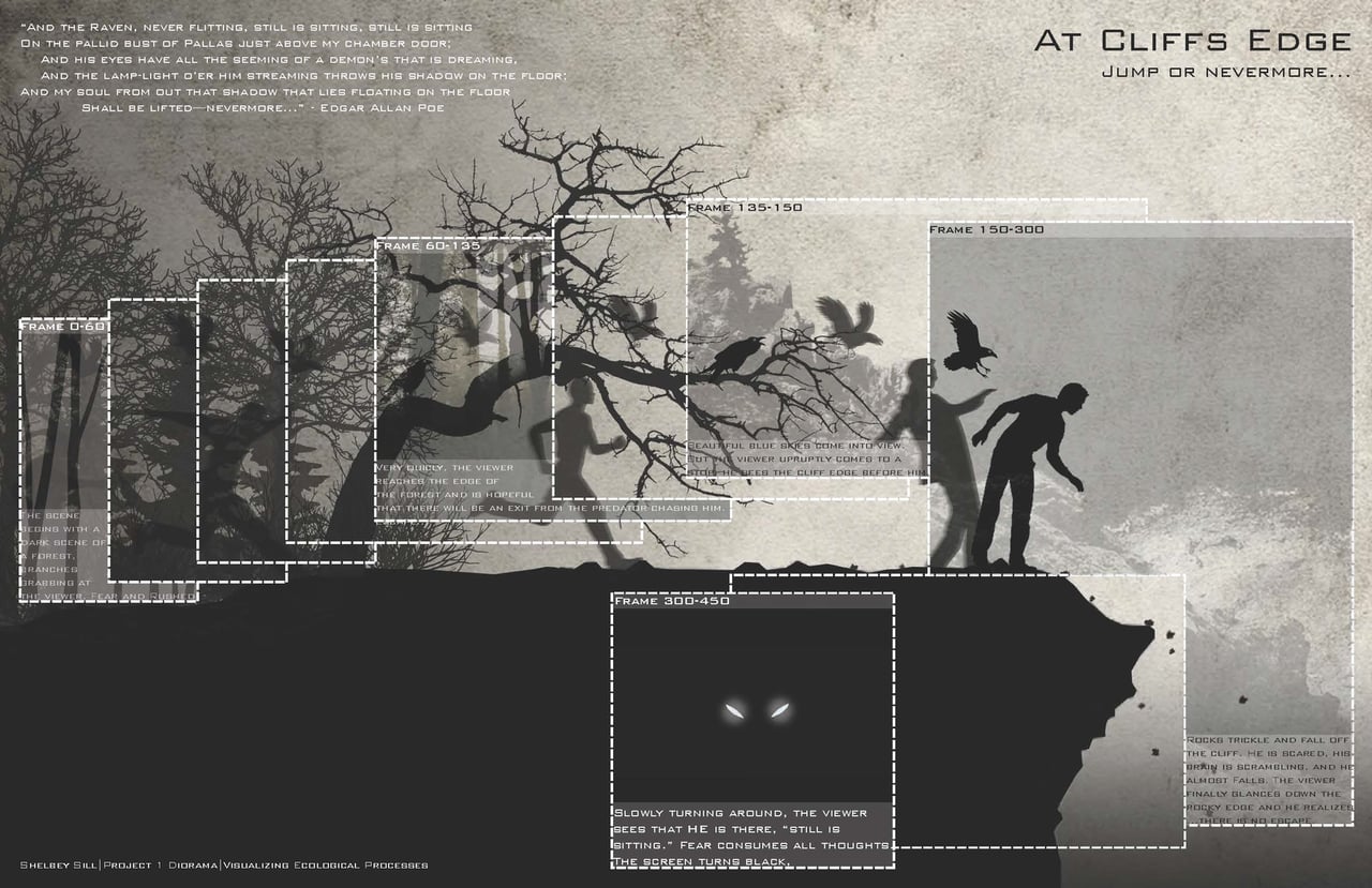
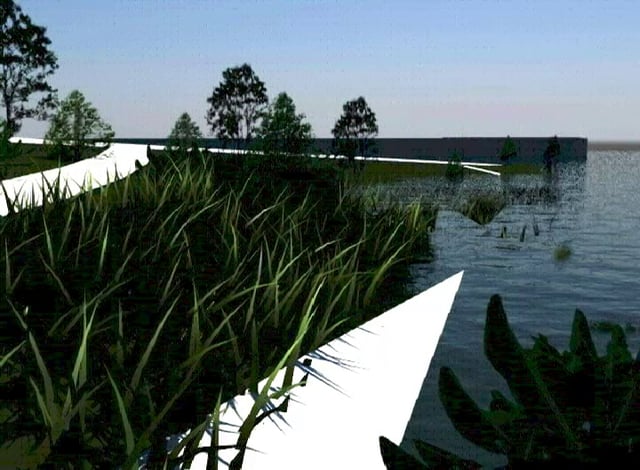
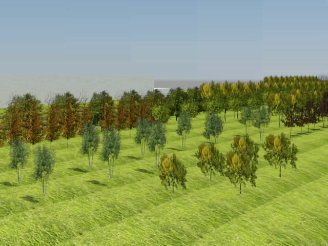
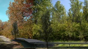
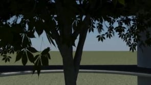
The diorama functions as a device to portray landscape as a spatial experience. It provides an opportunity to create a landscape illustration that is centered on a limited vantage point. This vantage point and the composition of the diorama are vital for creating a compelling experience and directing the viewer’s attention. In this project you will use narrative, composition, sequencing and timing to create an animation that both portrays a compelling reading as well as a visual analysis of a terrestrial community. This project should not be expressed as a passive glimpse into a space, but rather as an active reading of the landscape. In other words, you are in control of what the animation reveals to or obscures from the viewer.

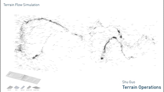
Terrain Operations
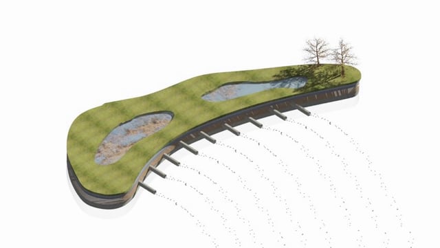
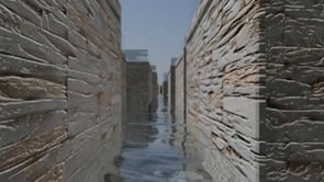
Through Terrain Operations, you will create a series of terrain models from base information (CAD, DEM, etc.) and then alter the topography in order to visualize change and experiment with ways to manipulate water flow. The output of this project will be both physical and digital, as well as 2D, 3D and time-based. You will be building on skills learned from the first project and add modeling through terrain alteration. We will also be working in a variety of software including 3ds Max, Rhino, AutoCAD, ArcMap and Adobe Illustrator.
Methods
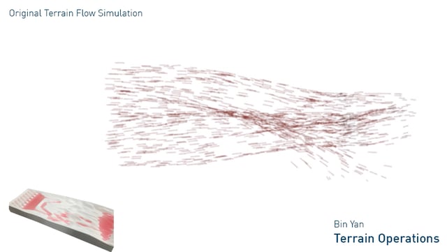
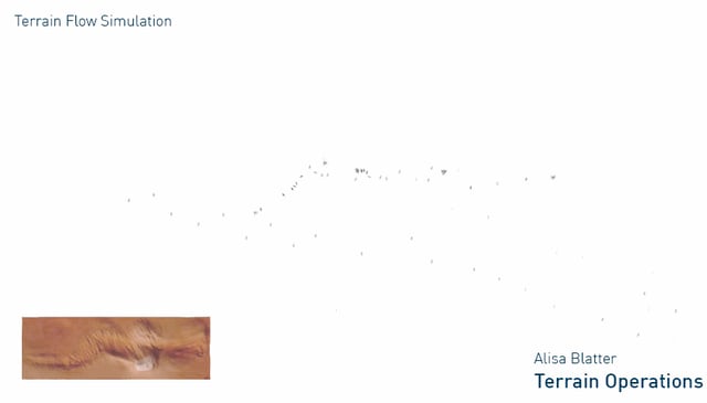
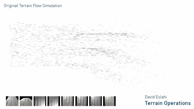
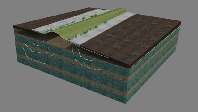
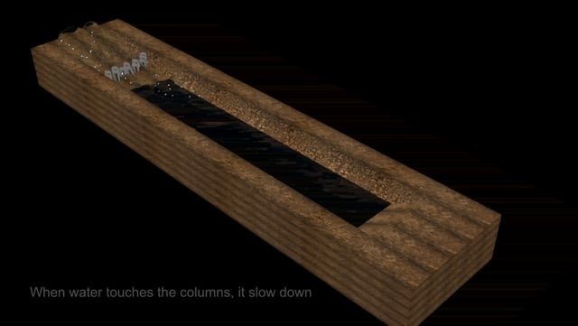
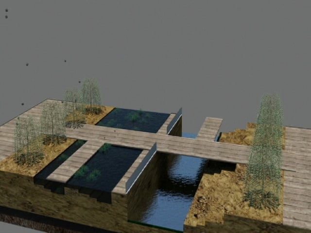
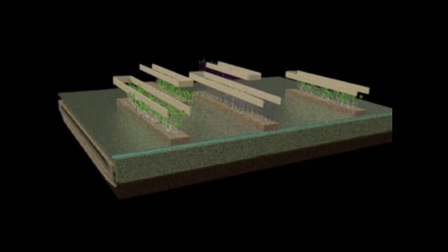
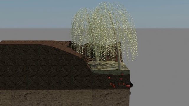
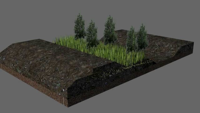
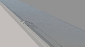
You will build a terrain from existing CAD contours, sectional splines or digital elevation map [DEM] using workflows between ArcMap, AutoCAD, 3ds Max and Rhino. You will select a portion of this terrain to alter through modeling into a series of studies on topographical manipulation. The study will be milled into a physical model to use as a base for hand-testing water flow which will be recorded by photographic study. A particle system will be added to the digital model in 3ds Max to test virtual water flow, recorded through animation. You will then create a 36" x 36” board that outlines the terrain operations performed and includes, plan, sections and model imagery from both digital and physical experimentation.
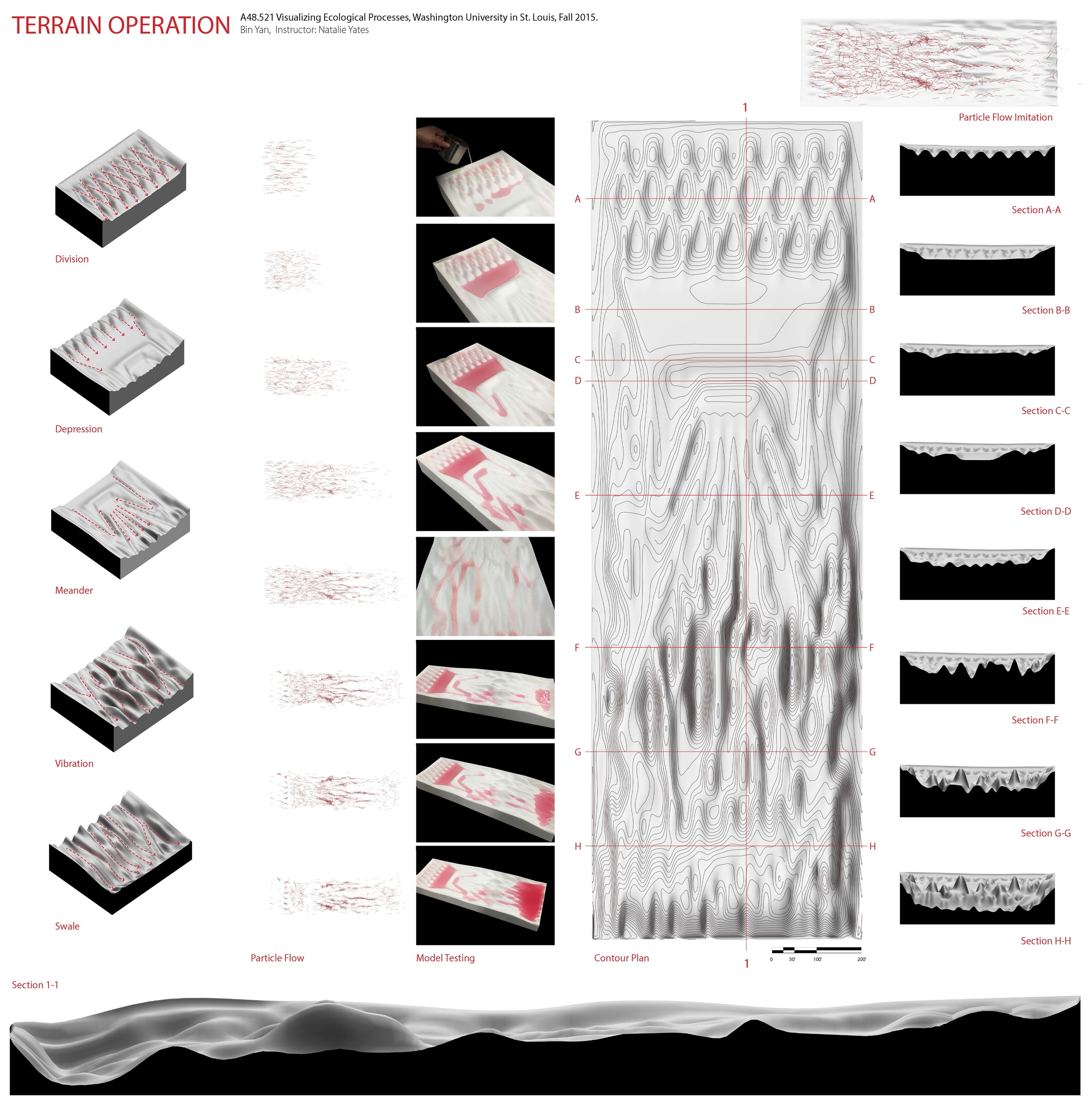
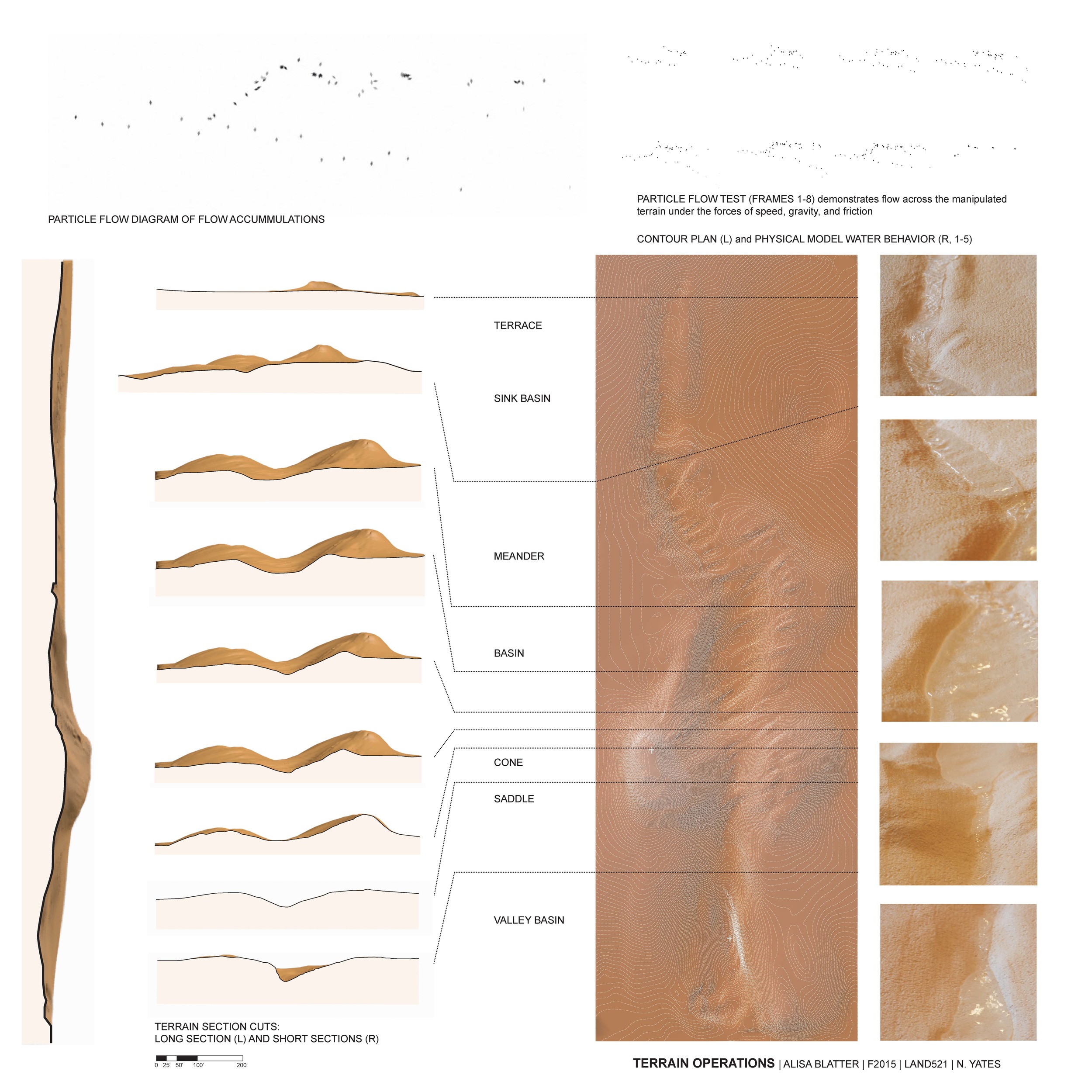
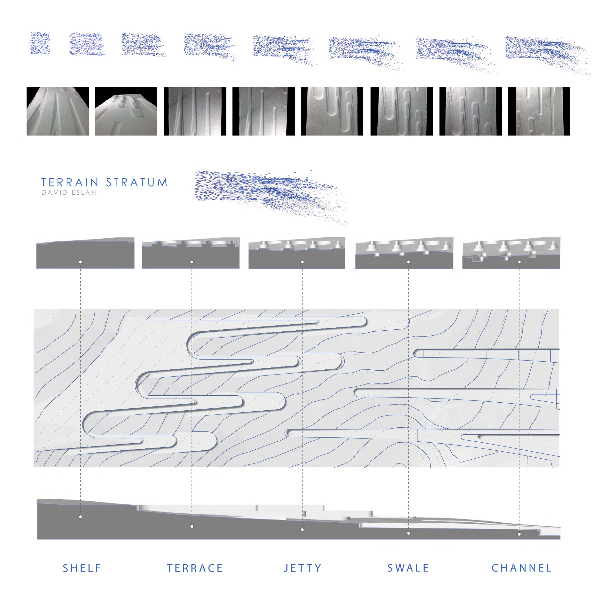
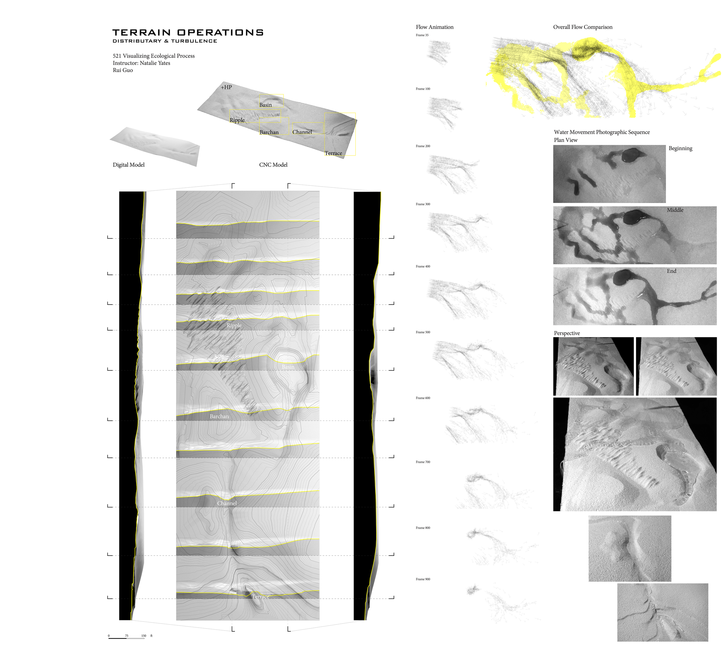


Terrain Operations explores methods to visualize topographical change and experiment with manipulation of flows over terrain. The project builds workflows between CAD, GIS, 3ds Max, Rhino and the CNC Mill in order to:
- input original data (contour / elevation data)
- manipulate and alter terrain through 3D modeling
- create new design drawings from altered terrain
- output a physical model for hands-on experimentation
- create simulated flows for virtual experimentation
Process
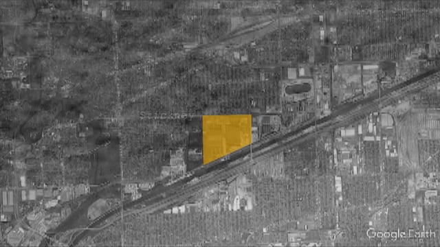
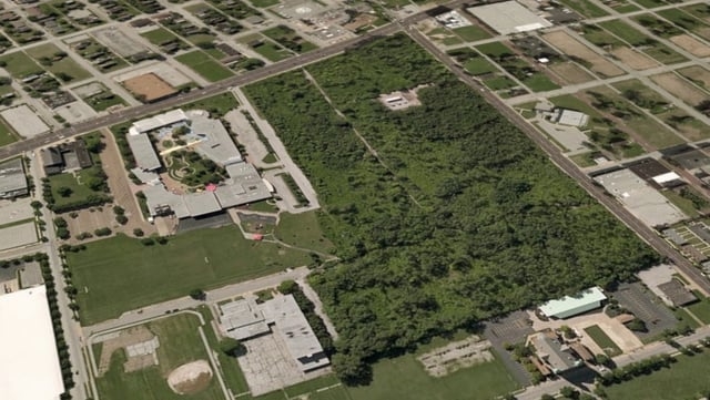
Students were given an area of real-world terrain and asked to alter the terrain through drawing and modeling into a series of 5 studies on topographical manipulation to alter the flow of water over the terrain. The 3D models were then scaled and translated for 2 different outputs. First, the surface was output to the CNC Mill to create a terrain model from 2# EPS. Students then tested flow, runoff and detention using water and recorded through photographic series. Second, the model was translated to 3ds Max where a particle system was added to test the terrain virtually. Students created an animation using the particle system to visualize the flows and extracted a series of images to illustrate. Finally, the students created new design drawings including contour plans and sections to illustrate their terrain operations. Throughout the process students were asked to compare their findings between the physical and virtual model experiments as well as evaluate their assumptions of how the manipulations would work.
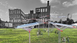
Processes
Device
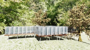

Composite